Porto to Baiona: Camino Português Coastal Guide for 2027
Updated November 2026
Porto to Baiona is the first half of the Camino Português Coastal: about 135 to 150 km along the Atlantic in six or seven walking days, crossing the Minho river by boat from Portugal into Galicia. It makes a complete week of walking on its own, and many people do exactly that, then return for Baiona to Santiago another year. One thing to know before you plan: Porto to Baiona on its own does not earn a Compostela.
| Porto to Baiona at a glance | |
|---|---|
| Distance | About 135 to 150 km (sources differ, see below) |
| Time | 6 or 7 walking days |
| Underfoot | Boardwalks, promenades, sand, cobbles, forest tracks, some asphalt |
| The one logistical catch | The Minho crossing at Caminha, by small boat and not a scheduled public ferry |
| Compostela | No. The 100 km that earns it starts at Baiona or earlier, and must end in Santiago |
| Best months | May, June, September and October, with March to October walkable |
How long is the Porto to Baiona walk?
It depends who is counting. Published stage lists for this half add up to about 133 km on one site, 135 on another and just over 150 on two more. The difference comes from where each source starts (Porto cathedral or Matosinhos), where it ends (Baiona town or A Ramallosa, just before it), and whether it follows the official waymarks or the seaside variants. One site states 140 km while its own list adds up to 133.
Plan on 135 to 150 km and do not worry if your watch and your roadbook disagree by a few kilometres. The Caminha estuary detour adds about 4 km on one source.
What are the stages from Porto to Baiona?
Here is the six stage version most sources use, with the kilometres each one gives. Where sources differ we show the range, because picking one silently would be misleading.
| Day | From | To | km | Notes |
|---|---|---|---|---|
| 1 | Porto (or Matosinhos) | Póvoa de Varzim | 27 to 38 | Long and mostly flat, boardwalks after Matosinhos. Vila do Conde is the natural place to split. |
| 2 | Póvoa de Varzim | Esposende | 21 to 24 | Coastal paths and boardwalks, some cobbled town sections. |
| 3 | Esposende | Viana do Castelo | 21 to 24 | Leaves the shore for rural paths. Take care crossing the Neiva river. |
| 4 | Viana do Castelo | Vila Praia de Âncora | 19 | Inland waymarks or the flatter coastal variant. They meet at Âncora. |
| 5 | Vila Praia de Âncora | A Guarda | 13 to 19 | Walk to Caminha, cross the Minho by boat, walk on to A Guarda. |
| 6 | A Guarda | Baiona | 30 to 31 | The demanding day. Rugged coast, forest tracks, climbs round Cabo Silleiro. |
| Total | About 135 to 150 |
The wide ranges on days 1 and 5 are real. Day 1 runs from 27 km on one site to 37 and 38.5 on others, partly because of where you start. Day 5 is 13 km on a site that counts the boat, and 19 on another.
If you want an easier rhythm, the stages worth splitting are the first and the last.
| Day | From | To | km (approx.) |
|---|---|---|---|
| 1 | Porto | Vila do Conde | 30 to 34 |
| 2 | Vila do Conde | Esposende | 20 to 25 |
| 3 | Esposende | Viana do Castelo | 21 to 24 |
| 4 | Viana do Castelo | Vila Praia de Âncora | 19 |
| 5 | Vila Praia de Âncora | A Guarda | 13 to 19 |
| 6 | A Guarda | Oia | 13 |
| 7 | Oia | Baiona | 15 to 18 |
The Porto to Vila do Conde figure is one walker's log of about 34 km from a hostel in central Porto, and it is shorter from Matosinhos. We could not find a reliable exact figure from Matosinhos. The Oia to Baiona figure is our own arithmetic: about 30.7 km for A Guarda to Baiona, minus about 13 km to Oia, gives 17 to 18 km, while a Xunta press note gives 15 km for a walking event from Oia monastery to Baiona. Treat 15 to 18 km as the range.
Is the first day out of Porto worth walking?
One walker's account describes about 5.5 km along Avenida da Boavista just to reach the sea, on hard pavement, before the boardwalks begin after Matosinhos. Taking the Metro to Matosinhos is common and carries no stigma: the sea comes sooner and you save your feet for the boardwalks. For the full start from the cathedral, plan the long first day or split it at Vila do Conde.
Senda Litoral or the official Coastal route?
Two ways of walking this half sit side by side, and the websites do not agree on what to call them. In plain terms:
- The official Camino da Costa follows yellow arrows. It alternates between the shore and inland paths, and some stretches are short, steep ups and downs on stone and earth tracks.
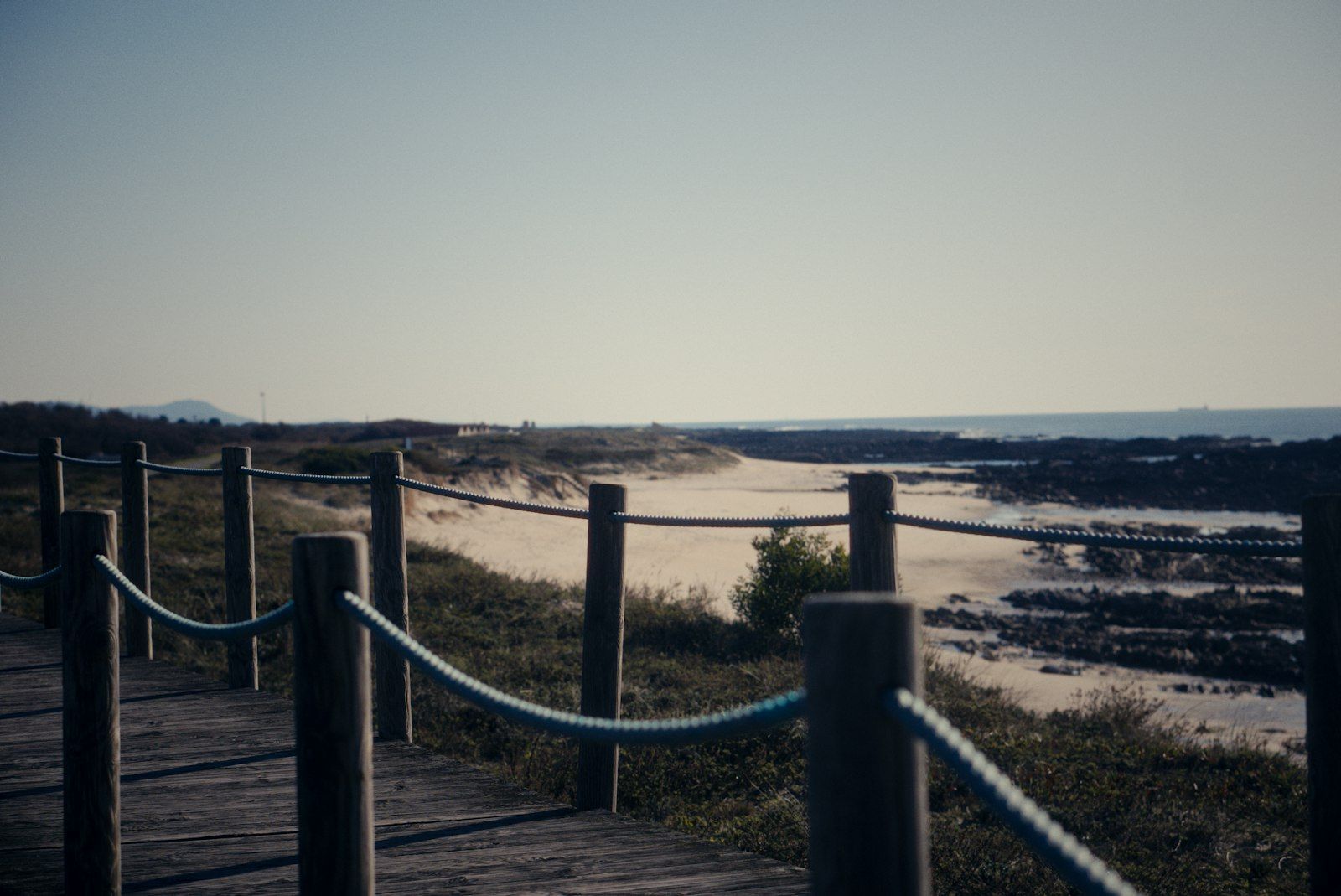
- The Senda Litoral keeps to the sea: promenades, sand and long wooden boardwalks. Its waymarking is inconsistent, but with the sea on one side it is hard to lose.
Other sites call the same seaside alternatives the "Ecovía", the "seaside variant" or the "coastal variant". They appear leaving Porto, between Viana do Castelo and Âncora, approaching Caminha, and past Baiona towards Vigo. You can mix them in a day, and most people do.
- Wind, sea spray and blown sand can make exposed sections harder. One 2018 walker's account quotes a well known guidebook on this, and says some Senda Litoral waymarks out of Porto had been removed. That is one old report, not today's position.
- Storms can close boardwalk sections in winter, and wet planks are slippery.
- Shade is scarce. Carry sun protection even on cool days.
Our view: take the boardwalks when the weather is kind, and keep the inland waymarks as the wet-weather plan.
How do you cross the Minho from Caminha to A Guarda?
This is the part most pages gloss over, so read it twice.
There is no bridge on the coast. For years a municipal ferry did the crossing, but it is out of service. Sources disagree on when it stopped: some say 2020, one regional newspaper says its last trip was on 21 June 2021, and a forum post says September 2022. In May 2026 the same newspaper reported that Caminha had decided the old ferry will not return, and was evaluating a new municipal boat for about 45 people. It was not finalised, and A Guarda's mayor said service might begin in early July, with caution. We found nothing confirming that a new boat is running, so check locally.
What exists now is a small group of private water taxis. Sources name Xacobeo Transfer, Taxi Mar Caminha and Taxi Boat Peregrinos, and a regional news report in October 2026 describes a seasonal water taxi service in Caminha running roughly from Easter to autumn.
What to expect, according to the sources we found:
- Fare: about €6 to €9 per person at the time of writing, with about €1 extra for a bicycle. Operators and sources differ, so confirm when you book.
- Time: about 10 to 15 minutes on the water in most accounts.
- Season: summer has several departures a day. From November to March, one operator runs a single window in the early morning, from 08:00 to 09:00 Portuguese time. Another source says boats run year round but reduced in winter.
- Tides and weather: the river has shifting sandbanks, and the crossing depends on tide and weather. Some departures may not run at low tide, and rough water can cancel a sailing even in summer. Some boats hold only about six people, so book ahead from April to October, confirm the evening before, and keep a flexible hour in your plan.
Boat types and landing points differ between operators, so ask your hosts in Caminha which one they trust and where it lands.
What if the boat is not running?
Have a plan B before you leave Porto. The usual fallback is the road:
- Take the train from Caminha to Valença, about 35 minutes and about €3.60 at the time of writing, and walk about 1.5 km over the international bridge into Tui. This puts you on the Central route, not the coast.
- A taxi or road transfer via the bridge near Vila Nova de Cerveira can carry you round to A Guarda. It adds cost and changes the day. We could not find a reliable taxi price or road distance, so ask locally.
- Gronze says you can also keep walking: Caminha to Tui is 32 km.
Does the time zone change?
Yes. Spain is one hour ahead of Portugal, and you gain that hour on the boat. Each departure time is given in the local time of the port you board at, so a 07:00 sailing from Caminha lands in Spain at what feels like 08:10. The operator that publishes this says it is the most common reason people miss the boat. Check which clock the timetable uses.
What is the A Guarda to Baiona day like?
It is the longest and hardest stage, about 30.7 km on the most detailed source. It starts on a rugged sea-level section past old shellfish nurseries, then follows dirt tracks through fields and pine and eucalyptus forest beside the PO-552 road, crosses beaches and a river mouth, and climbs steeply on the Camiño da Portela before a final climb to San Antón and the descent into Baiona. Cabo Silleiro lighthouse comes into view before A Ermida.
The route passes Oia, where a former Cistercian monastery dates from the 12th century and was declared an asset of cultural interest in 1931. Oia is a sensible place to split the day. When storms put waves on the track, the PO-552 road and cycle path is the alternative for walkers.
On the A Guarda side, the optional climb to Monte de Santa Trega (also written Santa Tecla) gives views over the estuary and one of Spain's best-preserved castros (hillfort settlements).
Does Porto to Baiona earn a Compostela?
No, not on its own. The Pilgrim Office requires at least 100 continuous km on foot on a recognised route, with the final stage ending at the cathedral in Santiago. Porto to Baiona ends in Baiona, not Santiago. For walkers starting outside Spain the Office also asks for at least 70 km in Spain, and this half has only about 30 km of Spanish ground.
Baiona to Santiago qualifies. It is about 121 to 133 km depending on the source (Gronze gives 120.8 km, Santiagoways 126 to 127, Bookatrekking 132.8), so it clears the minimum with room to spare. Vigo to Santiago is right on the line, at 99.3 km on Gronze's sums and 100 to 102 km on other sites, which is why Baiona is the usual starting point.
The Pilgrim Office page says you can walk the Way in stages, as long as they follow chronological and geographical order. We could not confirm how the Office treats a credential split across two years, so ask it before you go, and keep your Porto to Baiona stamps safe. In the last 100 km, two stamps a day are usually recommended. For a fuller explanation, see our guide to how the Compostela works.
How do you get home from Baiona?
Plan the way out of Baiona: the sources we found describe a bus to Vigo, not a train.
- Baiona to Vigo by bus: the usual route. Accounts put the journey at about 40 minutes to an hour, with a bus roughly every hour from Vigo bus station to the Baiona stop near the port. Reported fares range from about €2 to €7 and we could not find an official timetable, so check at the Baiona tourist office or the bus station.
- From Vigo to Porto by train: a regional express runs between Vigo and Porto Campanhã twice a day, about 2.5 hours, with a regular fare of €16.75 at the time of writing. From 6 April 2026 until 7 April 2027 a road transfer replaces the rail leg between Vigo-Guixar and Valença, with no intermediate stops, according to CP and RTP. Check cp.pt before you travel, particularly if you are finishing in the first months of 2027.
- Vigo airport: about 30 km from Baiona, with flights from Madrid and Valencia. Vigo to Santiago is roughly one to one and a half hours by train or bus, depending on the source.
When is the best time to walk the Coastal route?
The sources broadly agree on a window of March to October, with May to September or May, June, September and October as the sweet spot. One source adds that the Atlantic breeze keeps summer bearable.
- Spring and autumn: comfortable temperatures and fewer walkers than July and August, but rain is possible. One forum walker reported early spring lows of about 12 to 13 C and highs of 18 to 20 C, an individual experience, not a forecast.
- Summer: the most boat departures, beach atmosphere and pricier beach towns. Waves on Atlantic-facing beaches can be strong.
- Winter: fewer daylight hours, some services closed, a very limited boat timetable, and boardwalks that can close after storms.
Pack a windproof layer, sun protection and a waterproof in any month. We found no reliable wind or rainfall statistics for this coast, so we give none. For month-by-month detail, our weather guide covers the Portuguese Way in general.
How busy is the Coastal Camino?
Busier each year. A regional news report in October 2026 said the Caminho Português da Costa had passed 100,000 pilgrims in 2026, about 25% more than the same period the year before (the Xunta put the rise at 22% in July). Gronze says the Coastal is less crowded than the Central up to Redondela. In the first half, expect company at the boat in high season. Book the crossing, and book beds ahead in beach towns from June to September.
Who is Porto to Baiona for?
It suits you if:
- you have about a week and want a walk with the sea in it, not hills and farmland
- you want to split the Coastal across two years, or two seasons
- you like Atlantic towns, long beaches and seafood more than inland villages
It suits you less if you want a Compostela from this trip alone, dislike wind and exposed paths, or cannot flex around a boat that depends on tides.
We think it is a very good way to start: six or seven days with the sea beside you. If you would like the rooms, breakfast, luggage transfer and roadbook arranged, tell us your dates and we plan it: see our Porto to Baiona trip.
What if you continue to Santiago in 2027?
Baiona to Santiago is the second half: about 121 to 133 km in six stages through Vigo, Redondela, Pontevedra, Caldas de Reis and Padrón. Gronze joins the Coastal to the Central route at Redondela, after Vigo. This half earns the Compostela by itself, and you can walk it a few months or a few years after the first.
If that year is 2027, remember it is a Holy Year, because 25 July, the feast of Saint James, falls on a Sunday. The Holy Door of Santiago cathedral opens on 31 December 2026. Sources disagree on the ceremony time, so check it. The European Youth Pilgrimage is planned for 15 to 18 July 2027 in Santiago. We found no official forecast of pilgrim numbers. The Xunta expects them to rise, and one local source warns that Compostela pickup may not be same day at peak times.
Our advice: book the Baiona to Santiago half earlier than usual, avoid the weeks around 25 July if you can, and leave a spare night in Santiago for the Pilgrim Office. If you want to plan the second half now, our Baiona to Santiago trip covers it, or tell us your dates and we plan it. Our Holy Year 2027 guide has more.
Common questions
How many days does it take to walk from Porto to Baiona?
Most people take six or seven days. The seven day plan splits the first stage at Vila do Conde and the last at Oia, which eases the hardest days.
How long is the Camino Português Coastal from Porto to Baiona?
About 135 to 150 km, depending on the source, the start (Porto or Matosinhos) and the variants you take. Treat every figure as approximate.
Do I get a Compostela for walking Porto to Baiona?
No. The Compostela needs at least 100 continuous km on foot ending at Santiago cathedral, and this walk ends in Baiona. Baiona to Santiago, at about 121 to 133 km, qualifies on its own.
Is there a ferry from Caminha to A Guarda?
Not a scheduled public ferry. The old municipal ferry is out of service, and pilgrims cross by private water taxi in about 10 to 15 minutes, at about €6 to €9 per person. Confirm the day before, and have the train to Valença as a fallback.
Does the time change when I cross into Spain?
Yes. Spain is one hour ahead of Portugal. Boat times are given in the local time of the port you board at, so check which clock the timetable uses.
What is the difference between the Senda Litoral and the official Coastal route?
The Senda Litoral stays on the shore, on promenades, sand and boardwalks, with patchy waymarking. The official Camino da Costa follows yellow arrows and alternates between coast and inland. You can switch during the day.
How do I get back to Porto from Baiona?
Take a bus to Vigo (about 40 minutes to an hour), then the train to Porto, about 2.5 hours. Buses replace trains between Vigo and Valença until 7 April 2027, so check cp.pt.
When is the best time to walk Porto to Baiona?
May, June, September and October are most recommended, with March to October walkable. Winter has fewer daylight hours and a very limited boat timetable.